Real city world • Java & Bedrock Edition
Charlotte Minecraft map
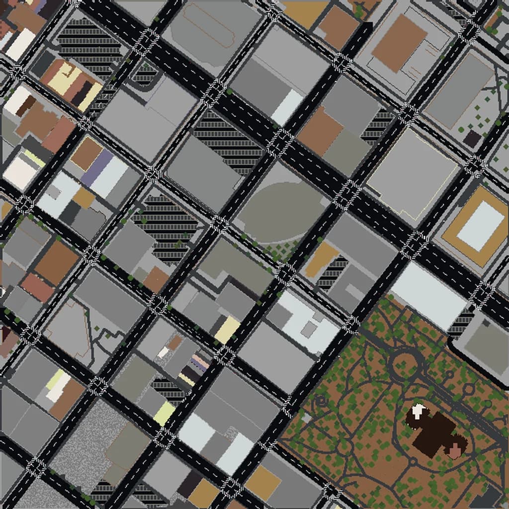
Uptown Charlotte's bank towers, the stadium and the light-rail line south through South End, with NoDa and Freedom Park around it.
Want the whole city? Worlds up to 500 km² are built for you, from $49 · see large worlds
About the Charlotte Minecraft World
Charlotte's Uptown — nobody there calls it downtown — is a tight square of bank towers on a grid rotated about 45 degrees from north, centred on the crossing of Trade and Tryon streets. The Bank of America Corporate Center's 265 m crown is the tallest building in the Carolinas, the Duke Energy Center and Truist Center stand near it, and the football stadium takes up the whole southwest corner of the core with Romare Bearden Park's lawns in front of it. The light rail's Blue Line runs out of Uptown in both directions and the city's two most-visited neighbourhoods sit along it: South End's converted textile mills and breweries to the southwest, and NoDa, the old North Davidson mill village turned arts district, to the northeast. Freedom Park and the Little Sugar Creek greenway lie to the south under Myers Park's oaks.
What's Included in the Charlotte World
Bank of America Stadium
The Panthers' stadium filling the southwest corner of Uptown, between the tower cluster and the I-277 loop. One of the largest footprints in the core.
Romare Bearden Park
The 5-acre park in front of the ballpark and the stadium, with its waterfall walls and the Uptown skyline rising directly behind it — the view on every Charlotte postcard.
NoDa
The North Davidson arts district 4 km northeast: the old Highland Park mill, murals, music venues and the Blue Line's 36th Street station.
Freedom Park
98 acres of lawns, a lake and the Little Sugar Creek greenway 4 km south, between Dilworth and Myers Park's streets of large houses under old oaks.
Plus all streets, buildings, parks, and terrain elevation from OpenStreetMap data — faithfully converted to Minecraft blocks. Available for both Java and Bedrock Edition.
Recommended Selection for Charlotte
The opening Large frame on Uptown holds the whole tower cluster inside the I-277 loop, the stadium, the ballpark and the northern end of South End. Move it to the NoDa pick for the mill district, or to the Freedom Park pick for the park and Myers Park's residential streets.
How It Works
- 1
Select Area
Choose how much of Charlotte you want — from a single neighborhood to the entire metro area.
- 2
Preview in 3D
Explore an interactive 3D preview before purchasing. Rotate, zoom, and inspect every block.
- 3
Download & Play
Get your world file for Java or Bedrock Edition. Drop it in your saves folder and start exploring.
Frequently Asked Questions
What's included in the Charlotte Minecraft world?
How do I import the world into Minecraft?
Do I need any mods to play?
Why does the Charlotte grid look tilted?
Minecraft maps of cities near Charlotte
The closest of our 124 ready-scouted cities, nearest first
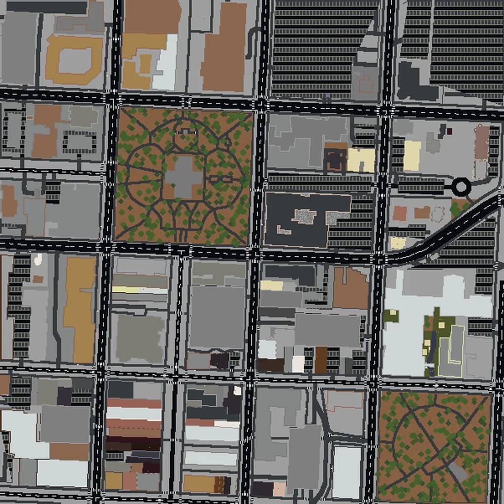
Raleigh
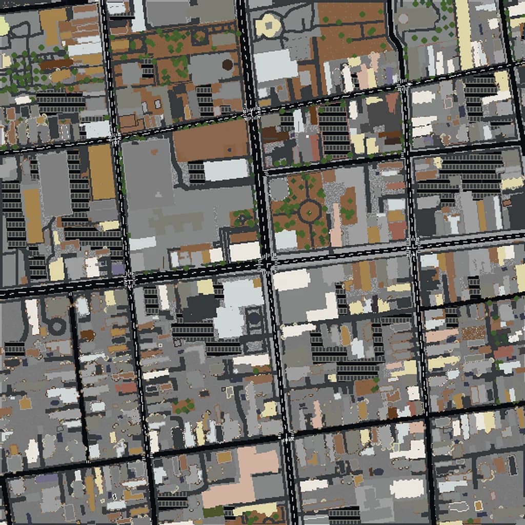
Charleston
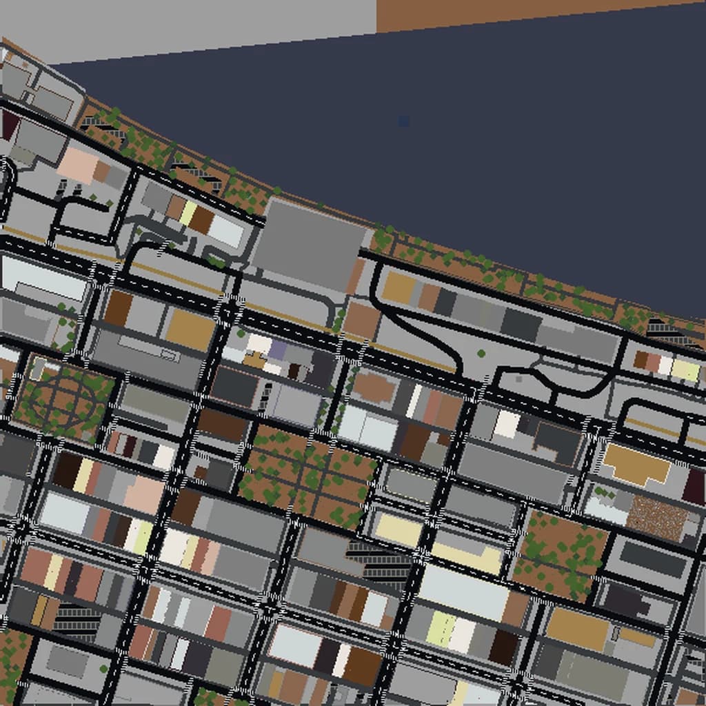
Savannah
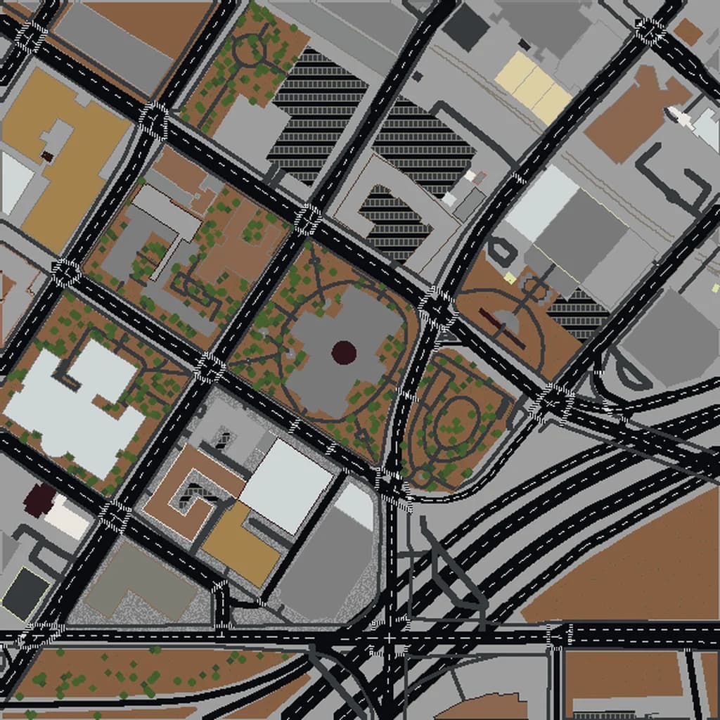
Atlanta
Richmond
Washington D.C.
More Minecraft city maps in the US South
Ready to Explore Charlotte in Minecraft?
Free preview of any area · from $5 — no subscription, no mods, no install required.